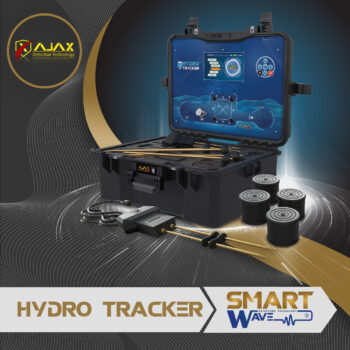
The Features
Display and controls
![information-copy[1]](https://smartwavedetectors.com/wp-content/uploads/2023/11/information-copy1.webp)
Detection Systems
Technical specifications
| Operate Principal | Analyzing signals, processing data, and converting them into visual results. |
| Display Screen | TFT Color, 7 inch 480*800 WVGA, color depth 24 bit |
| Battery | Internal, Lithium Ion 7.4 V, 7000mAh (52 W) |
| Power consumption | Average consumption 400 mAh |
| Battery working hours | More than 12 hours continuous when the battery is fully charged (Working hours may differ according to screen brightness, volume level and scan operations) |
| Electrical Charger | Power input 100-240V AC, Output (PD 12V.1.5A) |
| Volume | High quality mono sound. |
| Languages | Provided in 8 languages |
| Time & Date | Yes |
| Device Weight | 9.75 KG |
| Bag Dimensions | 23*40*52 cm |
| Package Dimensions | 23.5*42*54 cm |
| Operating Temperature | From (-10C to +60C) – From (+50F to 140F) |
| Storage temperature | From (-10C to +80C) – From (50F to 176F) |
Manual Scan
This system is characterized by the speed and easy search, as it is used in cases of rapid detection within a specific point with a small area, where 2 ground probes are used, and the search process takes place within the distance between them only, and the result is given in the form of a table that includes the name of the scanned line, the rate of detected water, its type, and depth.
![]()
Auto Scan
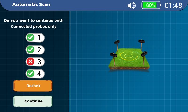
This system features a comprehensive scan of 6 lines and is characterized by ease and speed. Here, the signal purification and the soil temperature and humidity measurement unit can be connected to reach more accurate results. This system is used in cases of detection within a large area, by searching among the four ground probes sequentially, and the comprehensive result is given for all lines with full details for each.
Advanced Scan
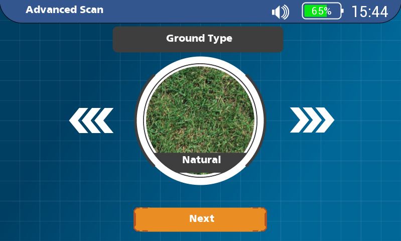
This system works on a comprehensive scan of 6 lines, and it is intended for experts only, as it depends on manually configuring the parameters of the scanning system according to the area in which the scanning is to be performed before starting the scan process, such as the type of soil, the depth to be reached, and the distance between the ground probes. It is preferable here to use the signal purification and measure the temperature and humidity unit of the soil. Within a wide area by searching among the four ground probes sequentially, the comprehensive result of all lines is given with full details for each line.
3D Ground Imaging
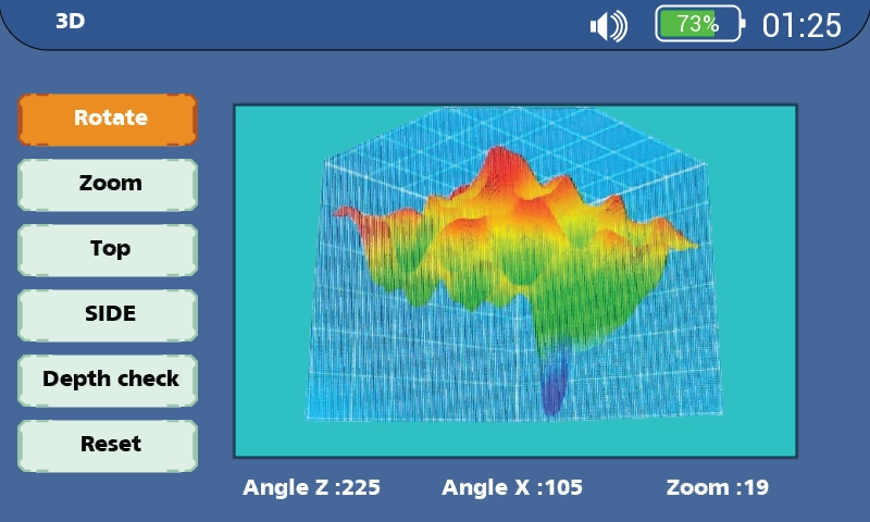
This system is considered to this day a scientific revolution in the world of groundwater detection, and in this highly advanced system, the result is given in the form of 2D images and a 3D perspective of the search area that can be seen according to the angle required by the user with the possibility of analyzing each point and knowing its depth and water percentage in it precisely.
